How is our local are used?
During this lesson the children were given an aerial photograph of Cowes. From this they had to identify how the land is being used and what for.

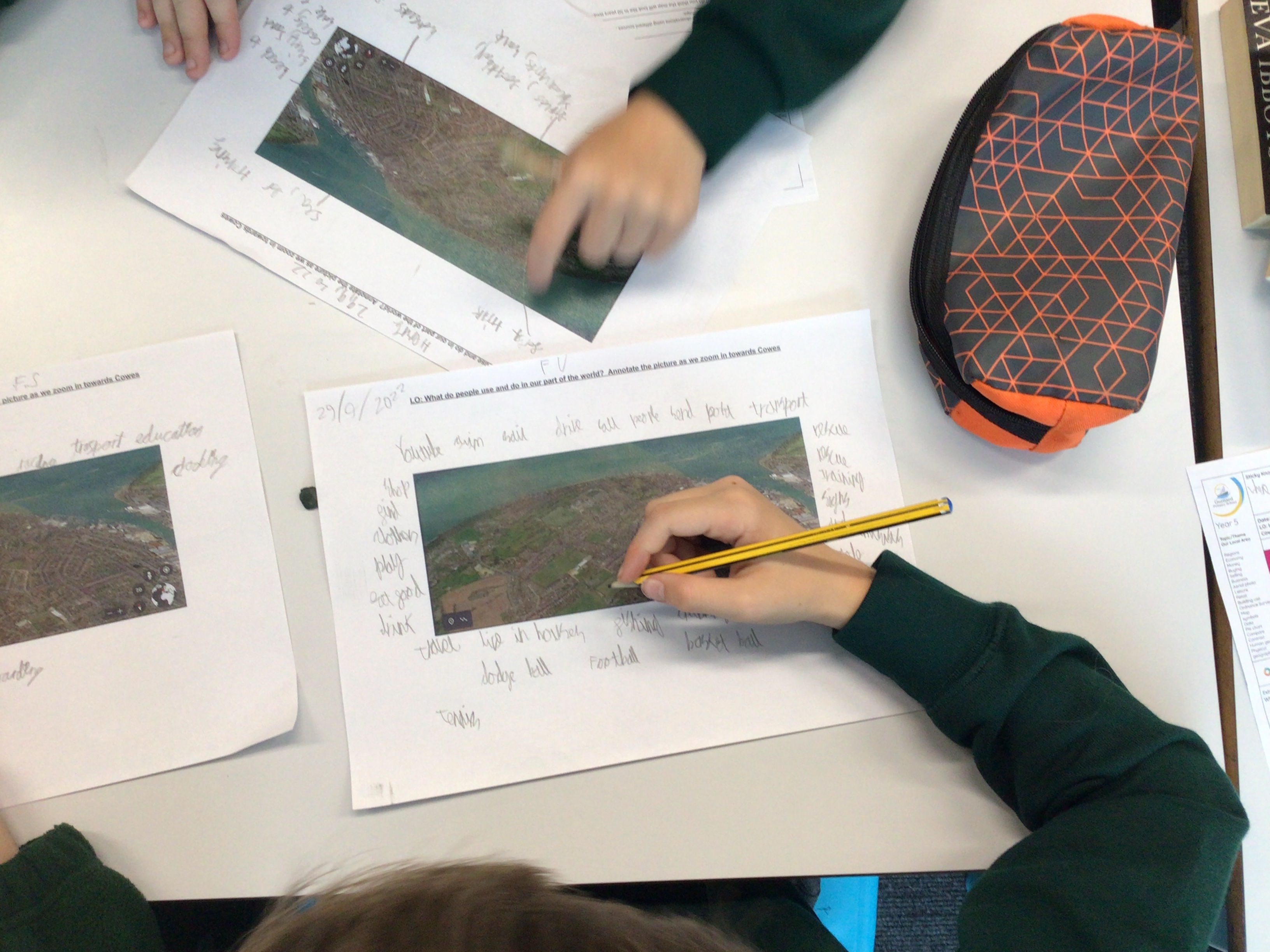


To extend their learning they had to decide how the map may have changed in 50 years time and why.


Comments
Post a Comment