What is in our area?
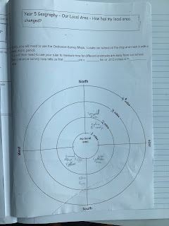
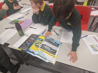
This week, the children used Ordnance Survey Maps to see what different places of interest they could find in the Cowes area.The children looked at the scale of the map: 1:25,00, which means that 1cm on the map represents 250 metres on the ground. The children then used this information to see what was in their local area and further afield.


Comments
Post a Comment